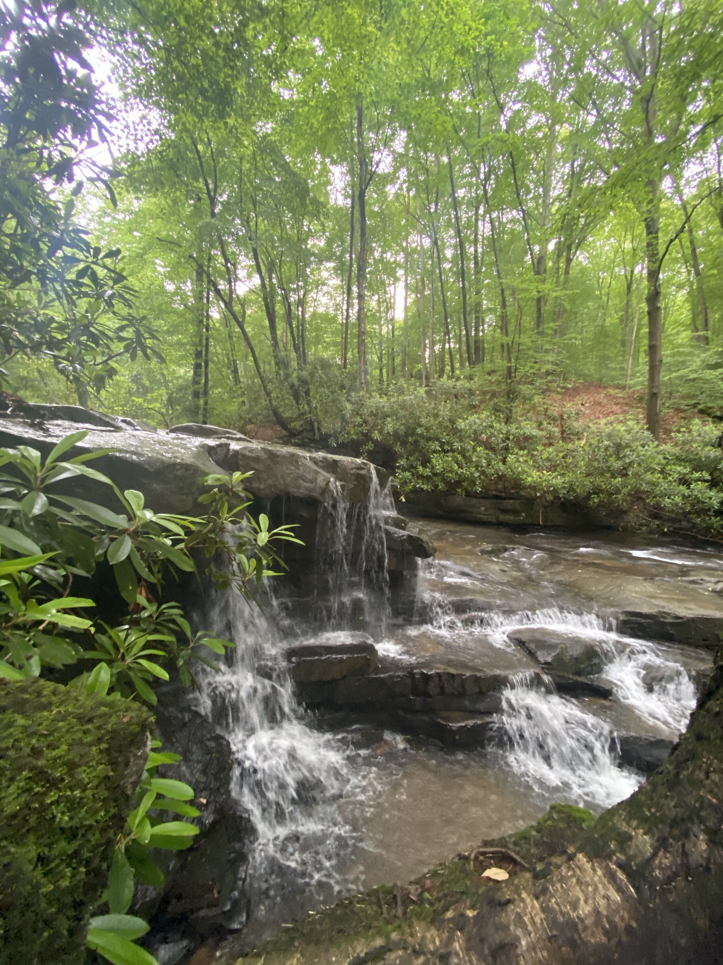
Hiking in Ohiopyle
Start Exploring!
Take a hike you won’t forget across some of the best terrain in Pennsylvania. If you like hiking, Ohiopyle State Park and the surrounding area has so much to offer!
There is a wide variety of hiking trails from short day hikes to challenging backpacking trips.
When hiking, remember to always bring a map, water, and wear appropriate hiking shoes.
Cucumber Falls & Natural Water Slides
One of the most popular sights in Ohiopyle State Park is Cucumber Falls. The beauty of this 30 foot waterfall will take your breath away. Just a short walk down the trail will place you at the base of the falls.
If you’re feeling extra adventurous on a hot summer day, check out the natural water slides! Grab your swim suit and take a ride, this natural phenomenon is an experience to be had.
https://pabucketlist.com/exploring-cucumber-falls-ohiopyle-state-park/
The Great Allegheny Passage
If you’re looking for an easy walk along a wider trail, a portion of the Great Allegheny Passage is the perfect option. The G.A.P. is a 27 mile path that runs through Ohiopyle State Park and connects Pittsburgh, Pennsylvania to Cumberland, Maryland. This trail is suitable for all ages and is ADA accessible.
Hiking Trails in Ohiopyle
Old Mitchell Trail Loop: 2.9 miles, more difficult hiking, red blazes. This loop trail begins at the Old Mitchell Place Parking Area in the west side of the park. The trail meanders through a variety of habitats including forest and meadow and is excellent for birding in the spring. A connector trail splits off at the back of the loop connecting to the Great Allegheny Passage. https://pabucketlist.com/hiking-the-mitchell-trail-at-ohiopyle-state-park/
Pressley Ridge Trail: 5.5 miles, more difficult hiking, orange blazes. A continuation of the Sugarloaf Trail System, this trail follows the ridge line, providing several loop options. A small connector trail leads to Lytle Road.
Sugarloaf Trail System: 10.4 miles, most difficult hiking, orange blazes. This hiking, biking and snowmobiling trail begins near the Train Station/Visitor Center. The trailhead is at the back of the Middle Youghiogheny Take-out Parking Area, to the right of the Great Allegheny Passage. The trail climbs 800 feet in elevation in two steep sections. The trail connects to the main bike trail area near Sugarloaf Knob.
Campground Connector: 0.5 mile, more difficult hiking, unblazed. This emergency access road begins off the Great Allegheny Passage paralleling Beech Trail and then uphill to connect with the back of Fir Road in the campground. Bicyclists traveling between the campground and the Great Allegheny Passage should walk their bicycles up and down this hill due to the steep grade.
Youghiogheny River Trail: 27 miles, easiest hiking. Non-motorized multi-use rail trail that stretches 71 miles (114 km) between McKeesport, Pa and Confluence, Pa. It is part of the Great Allegheny Passage that allows cyclists to bike from Pittsburgh, Pa to Washington, DC.
Laurel Highlands Hiking Trail: The portion of the trail within Ohiopyle State Park is 6.3 miles of very strenuous and rocky hiking. Hikers are rewarded for their effort as they pass beautiful overlooks and creeks on this section. Reservations for backpack camping are required. Reservations can be made up to 11 months in advance and must be made by contacting Laurel Ridge State Park, 724-455-3744 or reserving online.
Potomac Heritage National Scenic Trail: The Laurel Highlands Hiking Trail is a segment of the Potomac Heritage National Scenic Trail. An enterprise of many partners, the evolving trail network celebrates the heritage of the Potomac and upper Ohio river basins and offers opportunities for hiking, bicycling, boating, horseback riding, and cross-country skiing. National Park Service Passport Stamps for the trail are available at the Laurel Ridge State Park Office and at the visitor center in Ohiopyle. www.nps.gov/pohe
McCune Trail: 3.5 miles, more difficult hiking, purple blazes. This trail passes through various habitats and by evidence of the McCune Farm. Hikers can see an old spring house and pond as remnants of this working farm. The trail runs along the highest ridge in the park.
Jonathan Run Trail: 1.7 mile, easiest hiking, blue blazes. The trailhead is along the Holland Hill Road. The trail crisscrosses Jonathan Run and passes by small waterfalls, including Jonathan Run Falls. The trail connects to the Great Allegheny Passage.
Baughman Trail: 3.4 miles, most difficult hiking, red blazes. This trail has trailheads at the back of the Middle Yough Take-out Parking Area adjacent to the Train Station- Visitor Center in downtown Ohiopyle and at the Mountain Biking Trail parking lot. This steep, rocky trail passes Baughman Rock, a spectacular overlook of the Youghiogheny River Gorge.
Sproul Trails: 3.7 miles, easiest hiking, purple blazes. These five interconnecting loops are just north of the Kentuck Campground, near the second overflow parking area outside of the campground.
Sugar Run Trail: 1.6 miles, more difficult hiking, orange blazes. This trail connects Old Mitchell Trail to Jonathan Run Trail.
Beech Trails: 2.7 miles total, more difficult hiking, white blazes. The Beech Loop begins at the Kentuck Campground Amphitheater and connects to the Beech Trail and Sproul Trails. The 2.1-mile Beech Trail passes through a forest of towering American beech trees and leads to the Great Gorge Trail.
Ferncliff Peninsula Trails all have black blazes
Ferncliff Trail: 1.7 miles, easiest hiking. All other Ferncliff Peninsula trails branch off of this loop trail which circles the peninsula. The trailhead is near the Ferncliff Parking Lot. https://pabucketlist.com/hiking-the-ferncliff-trail-at-ohiopyle-state-park/
Buffalo Nut Trail: 0.1 mile, easiest hiking. This short trail is the first branch off of Ferncliff Trail and is a shortcut to Oakwoods Trail.
Fernwood Trail: 0.5 mile, easiest hiking. This trail features beautiful ferns and the remnants of the old Ferncliff Hotel.
Oakwoods Trail: 0.5 mile, easiest hiking. This trail passes through a mature hardwood forest.
Great Gorge Trail: 2.6 miles, more difficult hiking, green blazes. This trail begins at the Cucumber Picnic Area and crosses several bridges and roads. The trail follows Cucumber Run and passes an area known for its spring wildflowers. The next trail section follows an old tramway used to transport coal to the railroad. A spur of this trail leads up a steep incline to the Kentuck Campground.
Kentuck Trail: 2.5 miles, more difficult hiking, pink blazes. This series of trails begins at the Tharp Knob Picnic Area. A short, one-mile loop includes the Tharp Knob Overlook. The trail continues to the Kentuck Campground contact station, briefly follows the road, then descends to meet Jonathan Run Trail.
Meadow Run Trail: 3 miles, easiest hiking, yellow blazes. There are trailheads near the park office, at the waterslides on SR 2011 and at Cucumber Falls on SR 2019. From the waterslides parking lot, take the left trail under the SR 381 bridge for 0.7 mile to Cucumber Falls. Take the trail to the right, which leads to a loop trail and the Cascades. This trail is intersected by a path leading to the SR 2011 trailhead.
The above trail information is provided by Ohiopyle State Park.


